After a year of looking at the 12 O’Clock Hills on a daily basis from our kitchen window, I finally took a walk up on May Bank Holiday Monday. The hills, marked on maps as Knockanuarha, have a couple of waymarked routes that are maintained by volunteers and are justifiably popular with families, dog walkers and trail runners. They sit in central Clare, three miles from Kilkishen and offer fantastic views across the whole county and the higher peaks of some of Clare’s neighbours.
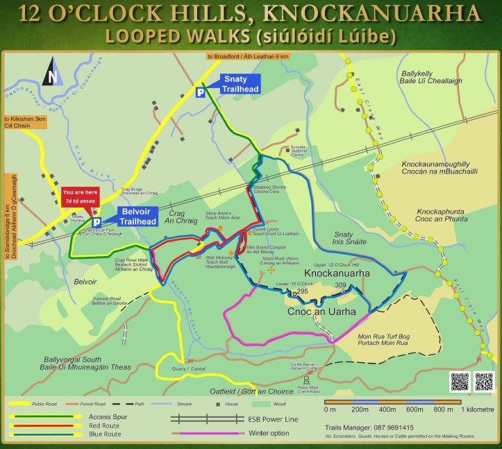
I parked at the newly opened ‘Torpey’s’ car park (named after the nearby hurley maker) at the Belvoir trailhead and followed the blue trail markers. The information signs offered an 8.5km route that would take two to three hours, depending on fitness and was graded as moderate to difficult.
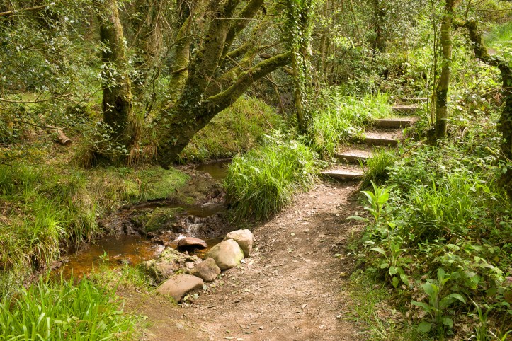
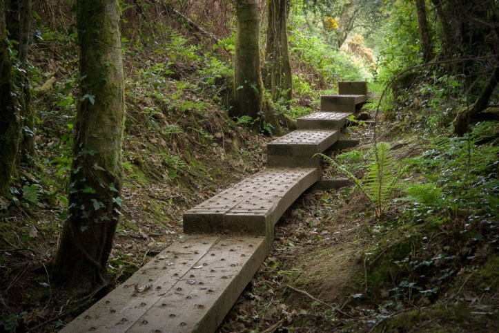
After a flat road section, the trail turned uphill through ancient woodland and alongside a stream with small waterfalls providing a soundtrack to the climb.

The trails are very well marked with painted arrows, finger posts and each trail section has name sign as you enter. They’re the sort of markers that kids would have fun finding and leading the way.
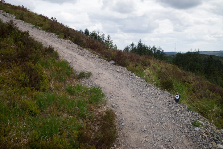
Out of the deciduous woodland and into the evergreen, man-created rows of pines. After another flat section along a forest access road, there’s a warning sign about the following steep section that rises at 25% for three hundred meters or so.
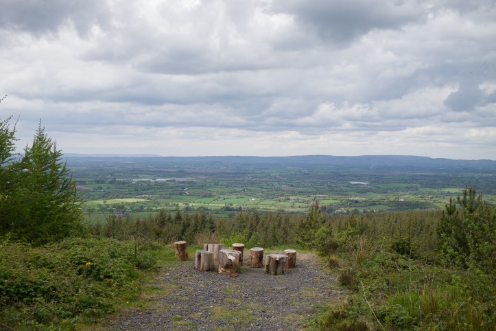
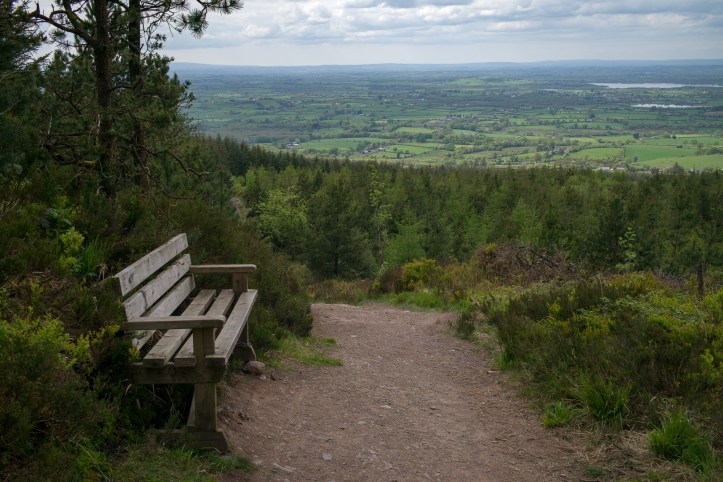
The reward is the first clearing above the forest and viewpoint looking northwest. It’s a chance to get your breath back after the first part of the climb.
The trail is very well surfaced and maintained. I’d guess that the route could be walked in pretty much any weather without the need for hiking boots, although shoes with good grip are essential on the steeper, rootier sections.
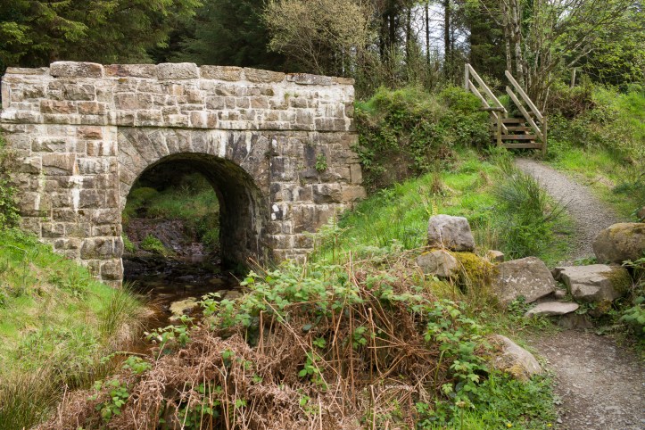
Any wet sections have had bridges or soakaways installed, there are plenty of benches and information signs giving an idea of the history of the area.
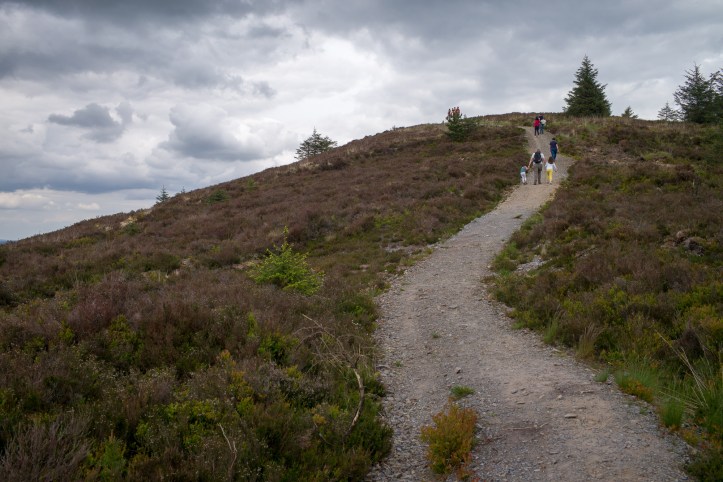
The final push to the summit.
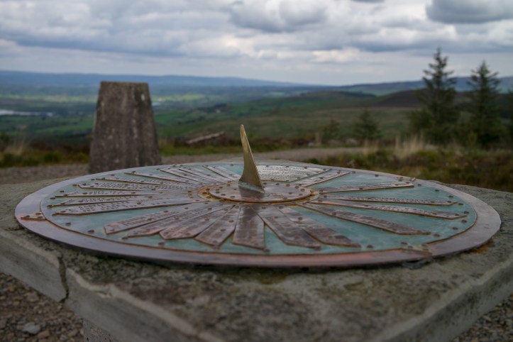
The summit has a topograph, trig point and another bench. The views are 360º and you can see the highest points of all the counties of Munster. You can also see our house, if you know where to look…
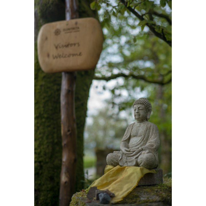
Somewhat surprising for mid-Clare is to stumble across the Sunyata Buddhist Centre.

The pretty fascinating story of Mary Ann Heffernan, who lived in the house whose remains next to the trail on the lower slopes. Incredible to think that she lived here during my lifetime.

The 12 O’Clock hills trails are a fantastic facility and well worth a visit. While the peak is not at all high, it’s position in the county gives an excellent view that well worth the effort.
You can see details of my walk on STRAVA.


